The Tour de Monte Rosa - Interactive Route Map
The Tour of the Monte Rosa - Full Route Map
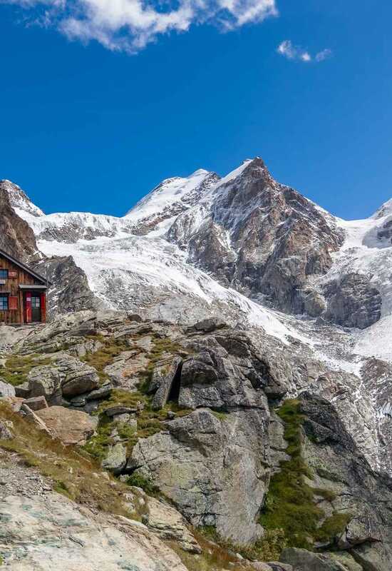
Explore the Tour of the Monte Rosa with our interactive map. This iconic route encircles the ten 4,000-meter peaks of the Monte Rosa massif, weaving through breathtaking alpine regions in Switzerland and Italy. Covering approximately 140 kilometers (87 miles) with an elevation gain of around 7,000 meters (23,000 feet), the journey begins and ends in the charming alpine town of Zermatt. Click on the map points to discover highlights along the route.
Plan your trek
Monte Rosa Guided Trek
2027 season
Key facts
- Distance
- 140 km / 87 miles
- Height gain
- 7000m / 23,000ft elevation
- Grade
- Grade 3
- Loop Full
- Circumnavigate the Monte Rosa mountain range
- Regions
- View iconic summits including the Matterhorn
Trek Information
Trek Packages
Which year do you want to travel in:
Spaces Available
£2895
Per person
Spaces Available
£2295
Per person
Departure dates 2027
Monte Rosa Guided Trek
- 1st-12th SeptSpaces Available
Monte Rosa Self-Guided
- Spaces Available
Departure dates 2028
Monte Rosa Guided Trek
- 4th-15th SeptSpaces Available
Monte Rosa Self-Guided
- Spaces Available