14/01/2026
After a busy summer season, we finally managed to carve out the time to return to the Aosta Valley and finish what we had started the previous year. Having explored the northern section of the Alta Via 1 – the Giants’ Trail in summer 2024, this trip allowed us to complete the remaining stages and link the route through from Gressoney-Saint-Jean to Closé.
Walking these final sections filled in the missing pieces of the puzzle, revealing just how varied and demanding this classic Italian route can be. From high, windswept cols and historic Walser settlements to long, testing descents and wonderfully welcoming refuges, the AV1 once again delivered a true high-mountain journey on the quieter side of the Alps.
Day 1: Gressoney-Saint-Jean to Rifugio Vieux Crest
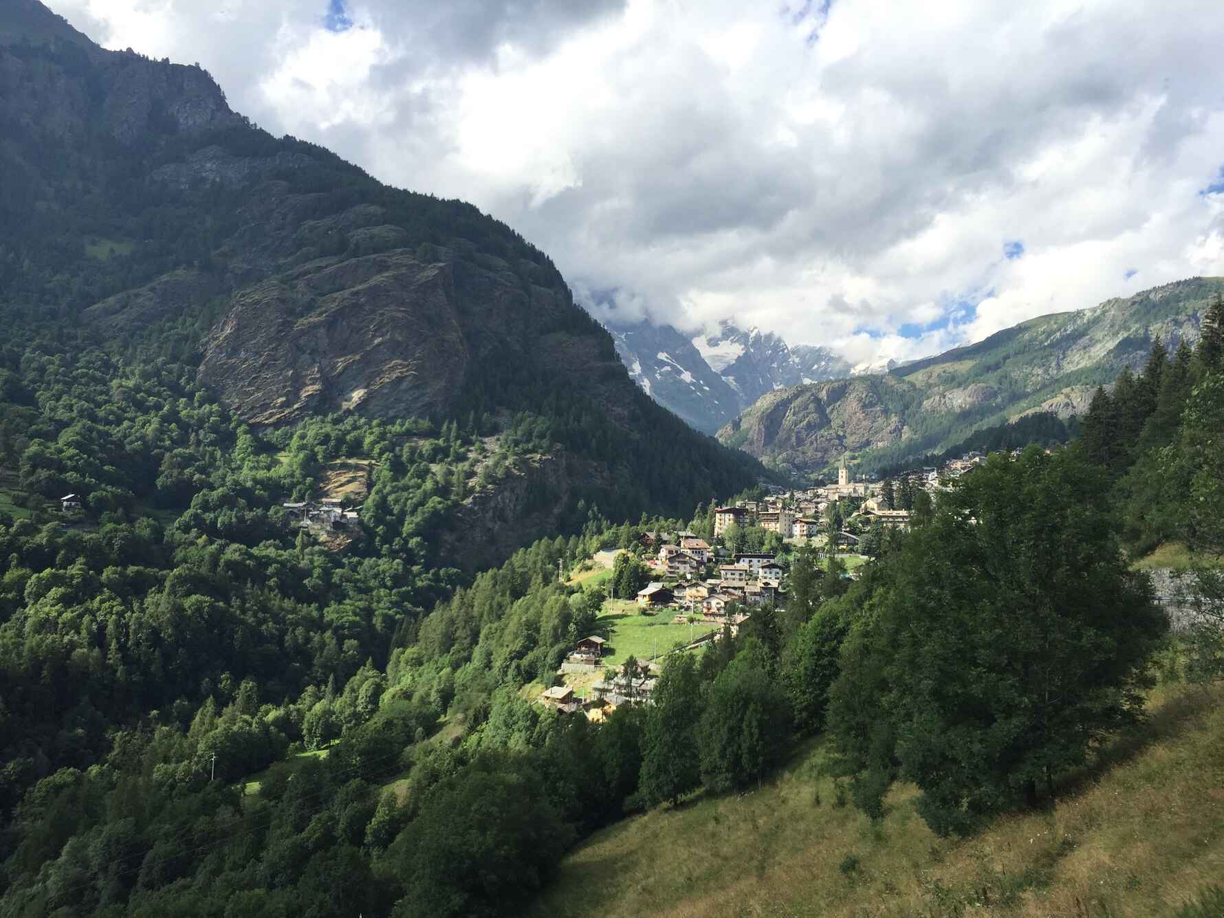
Leaving Gressoney-Saint-Jean behind, the trail climbs steadily through woodland before opening out onto steeper alpine terrain. A welcome early pause comes at Rifugio Alpenzu (1,770m), the perfect spot for a quick Italian coffee and a moment to take stock before the day’s main challenge.
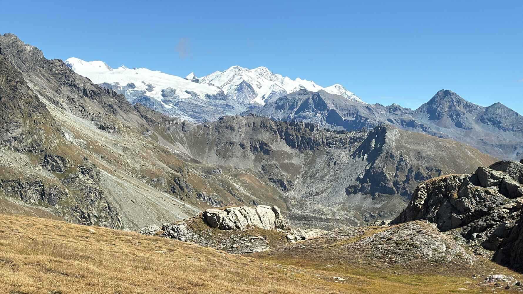
From here, the route becomes increasingly dramatic as it pushes higher toward Col Pinter (2,777m). The col sits in a spectacular position on steep ground between Monte Perrin (4,974m) and Testa Grigia (3,313m), and reaching it feels like a real achievement on this opening stage. The views are vast and unmistakably high alpine, a reminder that the Giants’ Trail wastes no time in showing its teeth.
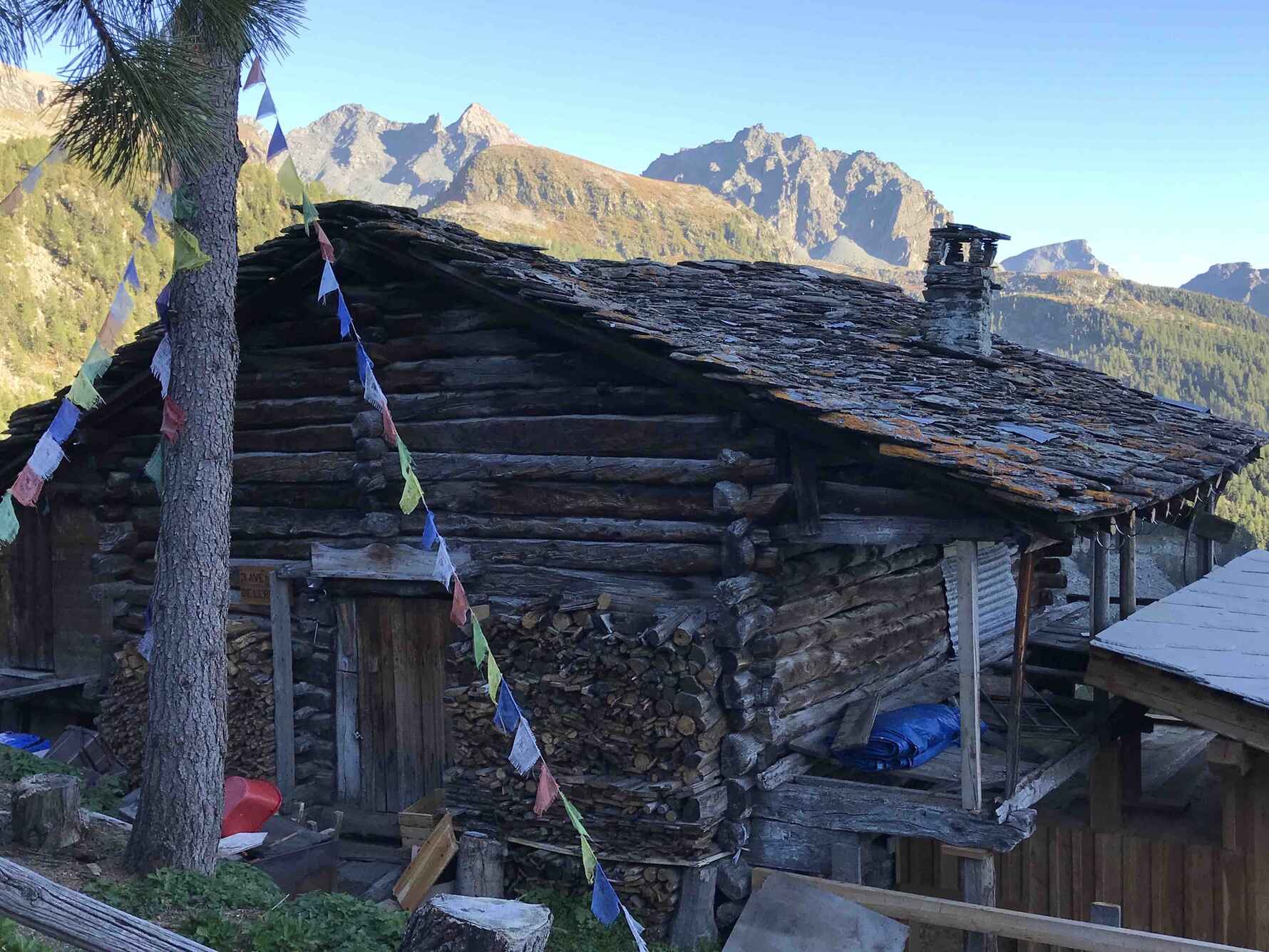
On the descent, the landscape softens as the trail drops toward Alpe Cuneaz (2,057m), a beautiful alpage with a fascinating past. Originally a Walser German settlement, it is the highest inhabited alpage in the area, and passing through here adds a strong cultural dimension to the day’s journey.
The final descent leads to Rifugio Vieux Crest, where tired legs are rewarded with warm hospitality and the satisfaction of a full, demanding first stage completed.
Distance: 11 km | Ascent: +1,400 m | Descent: –900 m | Hiking time: approx. 6 hours

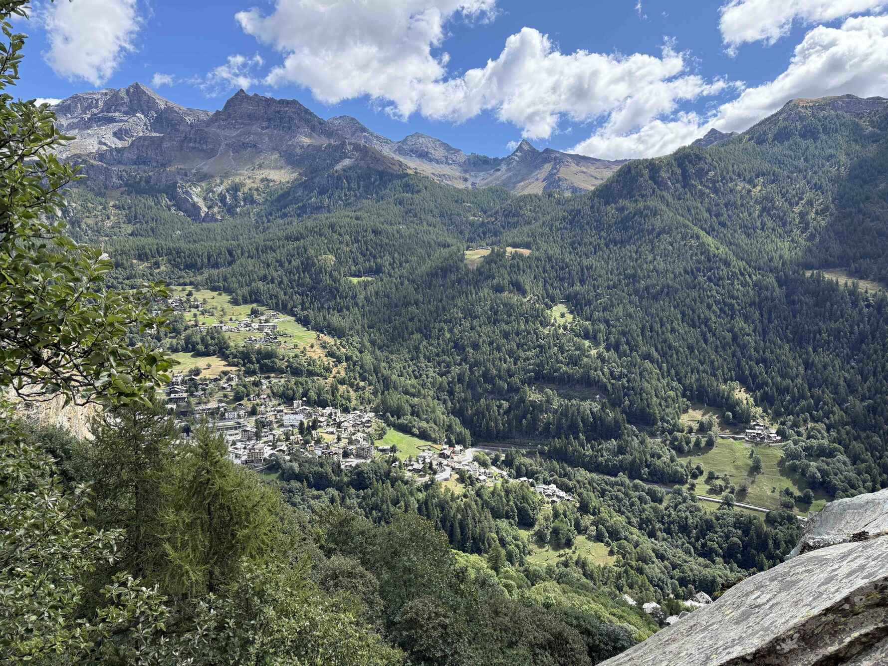
Day 2: Rifugio Vieux Crest to Rifugio Grand Tournalin
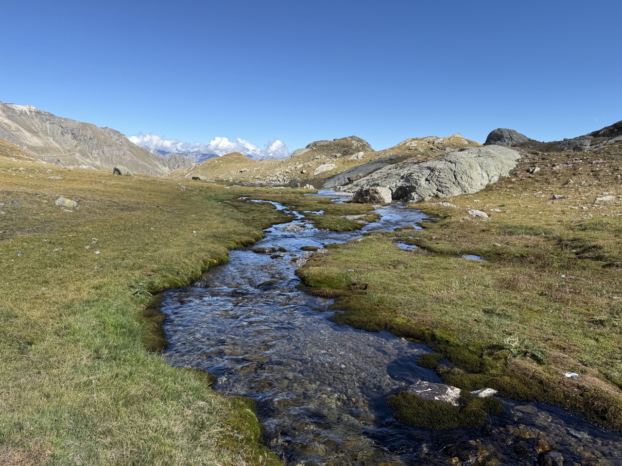
After the demanding climb of Day 1, this stage offers a more relaxed pace, a chance to ease into the journey and properly enjoy the surroundings. Leaving Rifugio Vieux Crest, the trail contours gently through open terrain, making for a noticeably easier start.
The route passes close to the historic village of Saint-Jacques-des-Allemands, a reminder of the strong Walser influence in this part of the Aosta Valley. These quiet mountain settlements add real character to the route and give a sense of how people have lived and moved through this landscape for centuries.
Throughout the day, the scenery is dominated by impressive views of the Monte Rosa massif. The scale of the mountains is hard to ignore, and with fewer steep climbs to tackle, there’s plenty of time to stop, look around, and appreciate just how vast this alpine world is.
The stage finishes at Rifugio Grand Tournalin, a welcoming spot and an ideal place to rest ahead of the days to come.
Distance: 10 km | Ascent: +1,020 m | Descent: –450 m | Hiking time: approx. 4 hours

Day 3: Rifugio Grand Tournalin to Valtournenche
Today’s stage may be shorter in distance, but it’s rich in character and classic Alpine drama. Leaving Rifugio Grand Tournalin, the trail quickly gains height before easing into a high-level traverse that feels wonderfully remote.
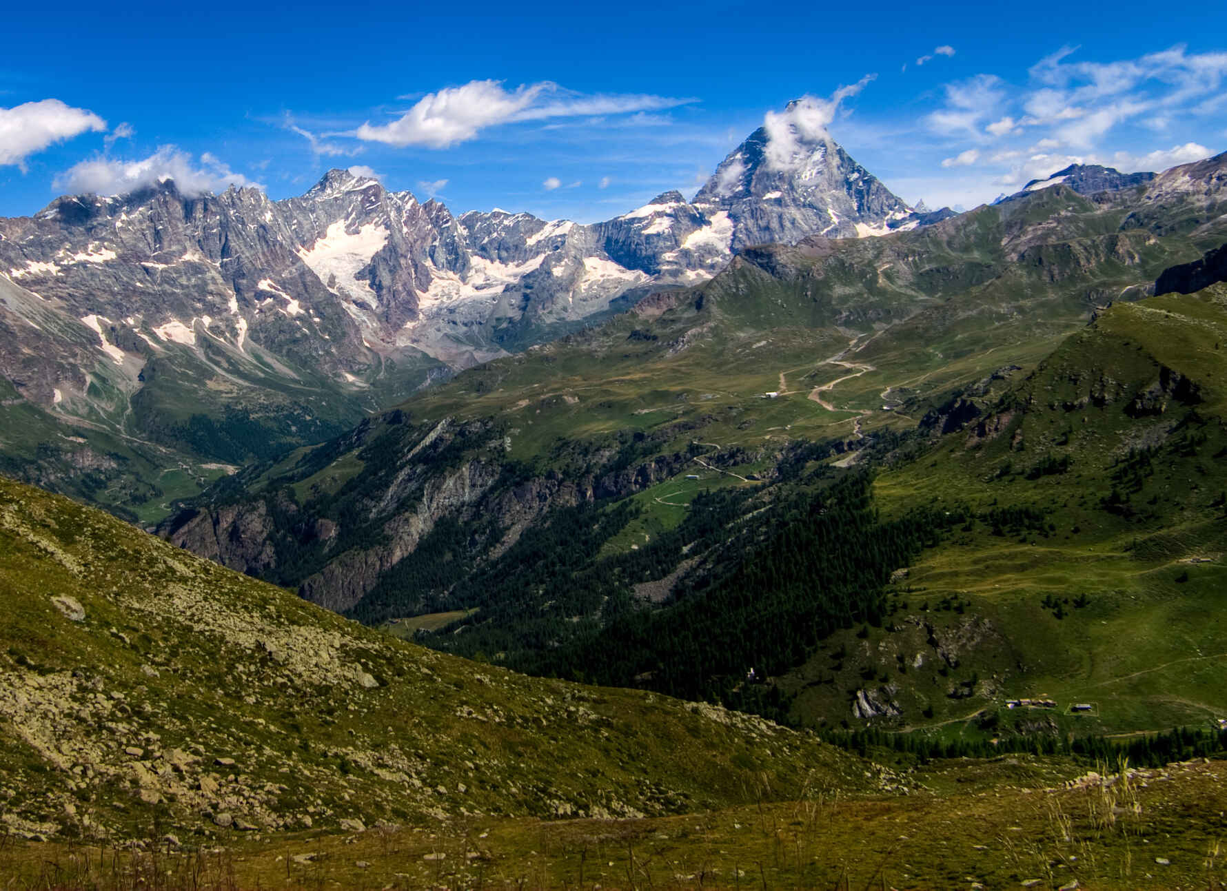
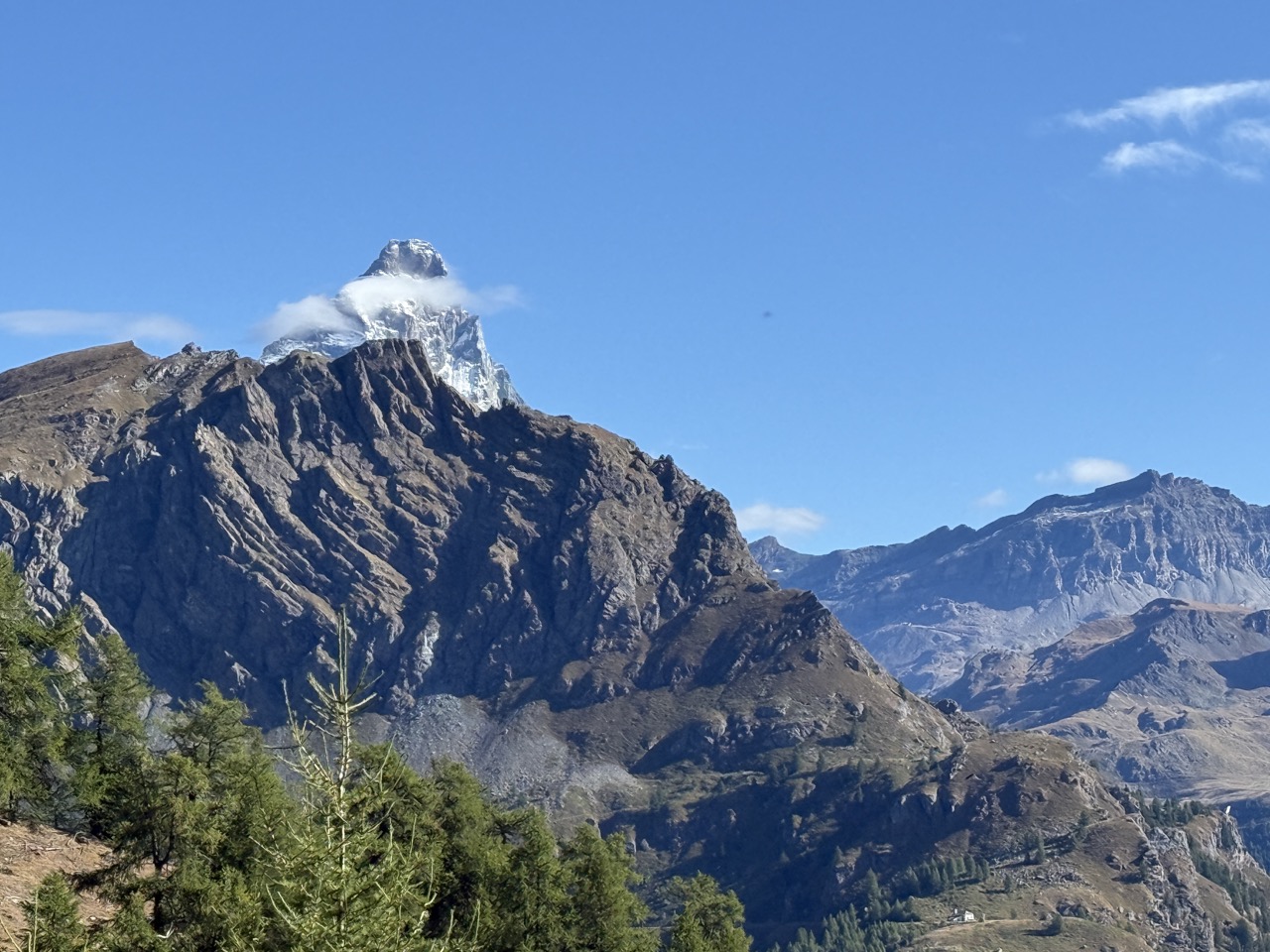
The route crosses Col Nana (2,775m), a quiet and wild col where it’s not uncommon to spot ibex picking their way across the rocky slopes, one of those moments that makes you slow down and soak it all in. From here, the trail continues toward Col des Fontaines (2,695m), where the views open out spectacularly toward the Matterhorn, rising unmistakably on the horizon. It’s a breathtaking vantage point and one of the visual highlights of this section of the AV1.
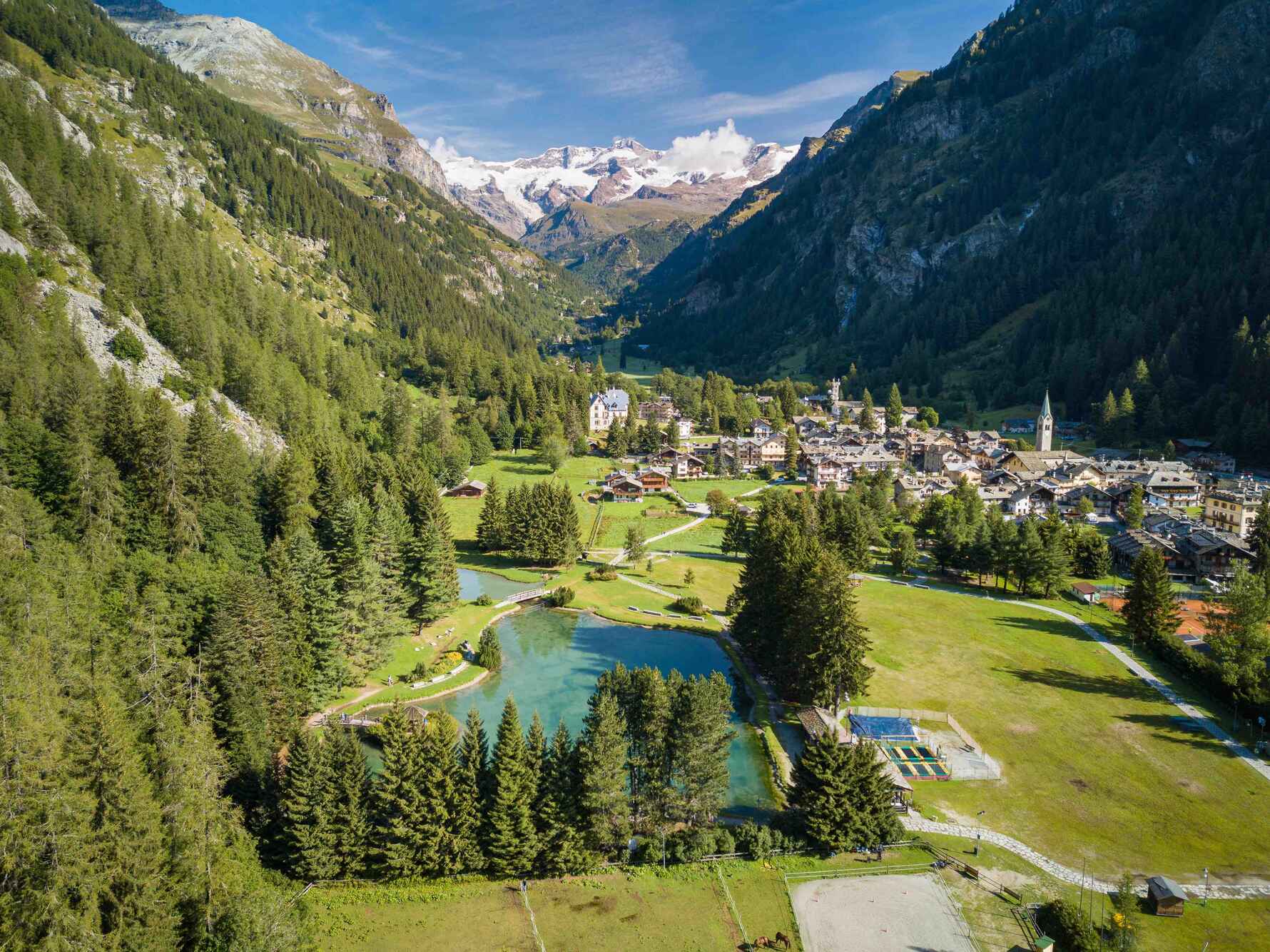
A long descent follows, gradually dropping into the valley and delivering you to Valtournenche, nestled below Cervinia. This village holds a special place in Alpine history, it was here that Edward Whymper based himself while preparing for his ascent of the Matterhorn.
Three days completed we returned to the Chamonix Valley, the final section still to tackle in a few weeks time.
Distance: 8 km | Ascent: +300 m | Descent: –1,300 m | Hiking time: approx. 4 hours
Day 4: Valtournenche to Rifugio Barmasse
With logistics in mind and a drive over from the Chamonix Valley that morning, today was intentionally kept short, a gentle reintroduction to the trail and the perfect moment for Mabel to rejoin the adventure.
Leaving Valtournenche in the afternoon, the route climbs steadily up toward Rifugio Barmasse, gaining height quickly but without any technical difficulties. Despite the shorter distance, the ascent is a good reminder that this is still very much high-mountain terrain, and it’s a satisfying way to stretch the legs after time on the road.
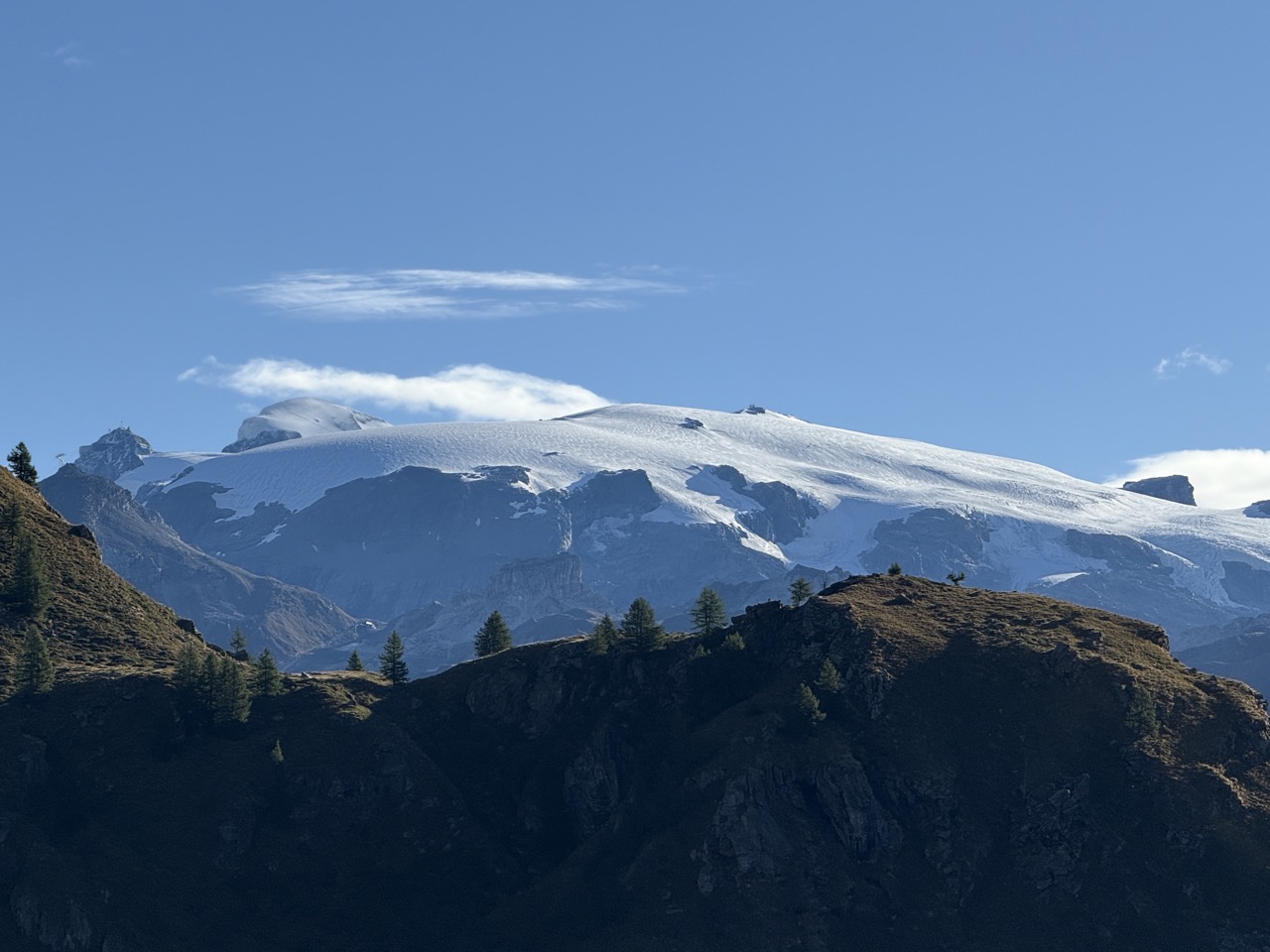
Arriving at the refuge, we were rewarded with great views of the Breithorn, its broad, glaciated summit dominating the skyline. It’s a spectacular setting and a wonderful place to slow down, settle in, and enjoy the evening light.
The brief nature of the stage works surprisingly well, allowing time to relax at the refuge and prepare for the bigger days ahead. It’s also a good reminder that the AV1 can be adapted sensibly, something that lends itself particularly well to a self-guided itinerary.
Distance: 4.2 km | Ascent: +700 m | Descent: –0 m | Hiking time: approx. 2 hours
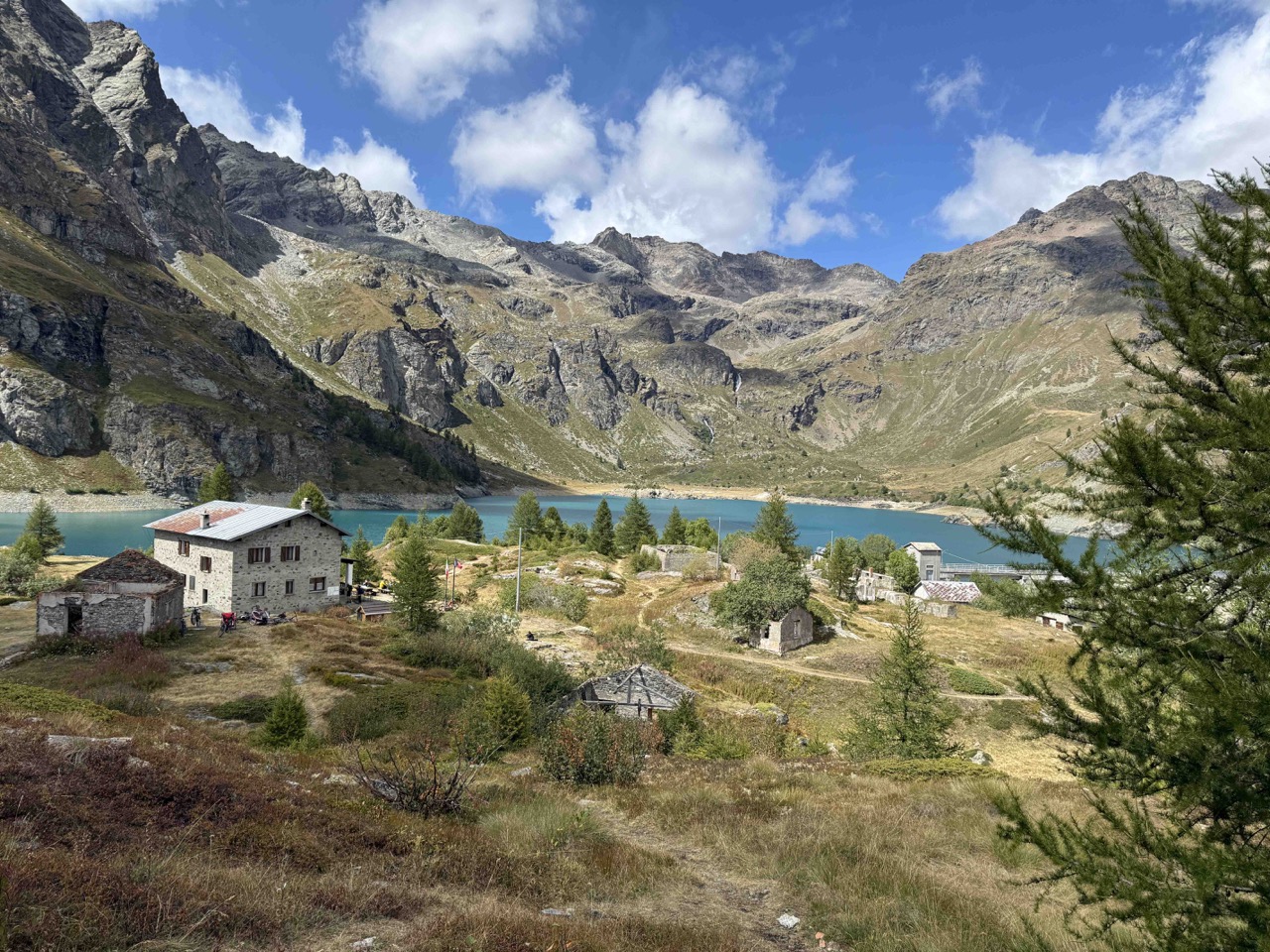
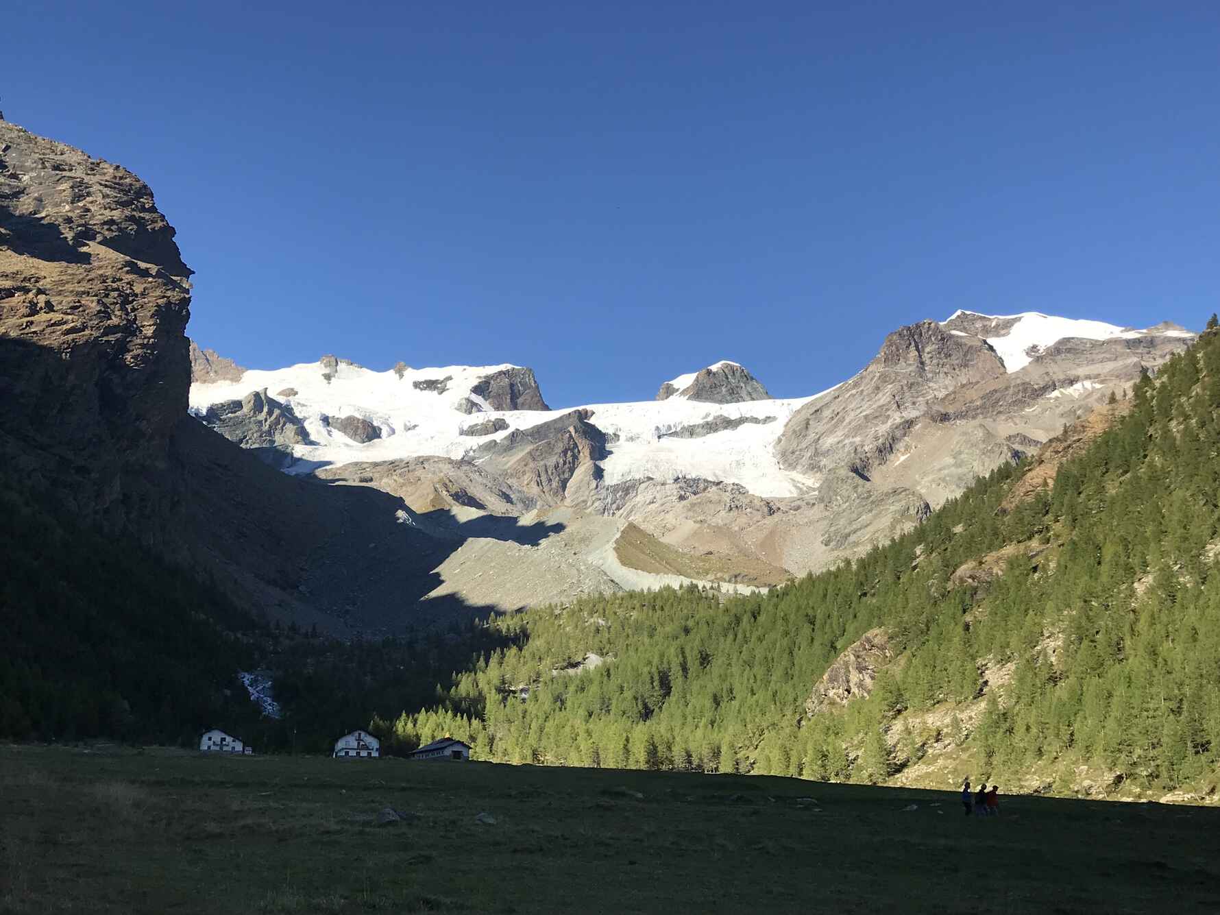
Day 5: Rifugio Barmasse to Rifugio Cuney
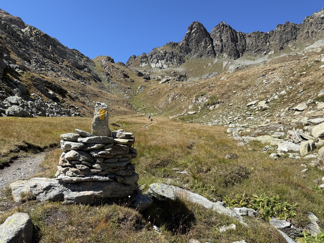
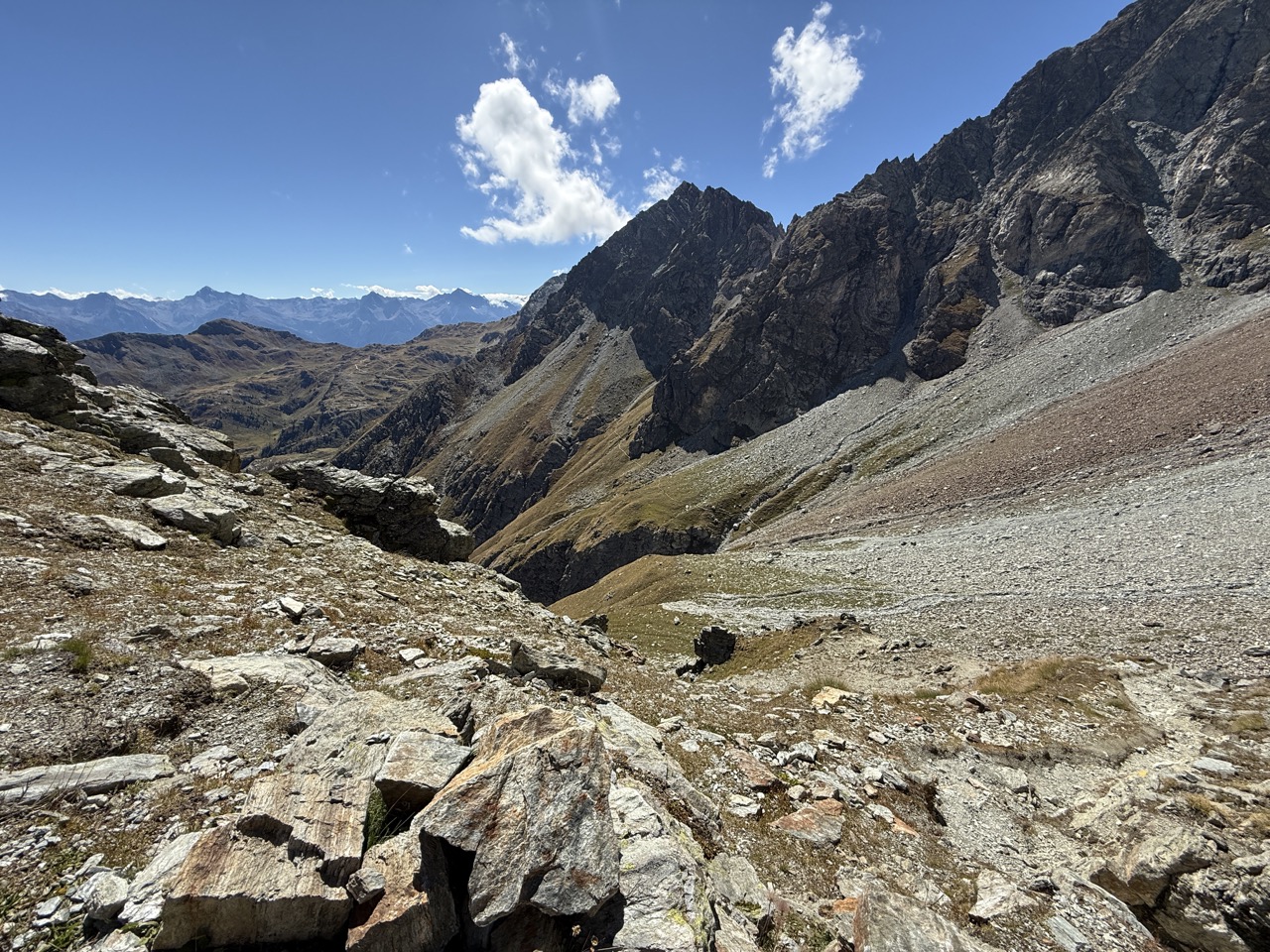
This was without doubt one of the tougher days of the section, and a clear reminder that on the Alta Via 1, distances and signpost timings don’t always tell the full story. Although it looks manageable on paper, the terrain makes this a demanding stage, requiring steady concentration throughout.
Leaving Rifugio Barmasse, the trail climbs through rugged, high-mountain ground, with effort rewarded at the Finestra d’Ersa (2,290m). Looking back from here, the views across to the Monte Rosa massif are superb and provide a natural pause before pressing on.
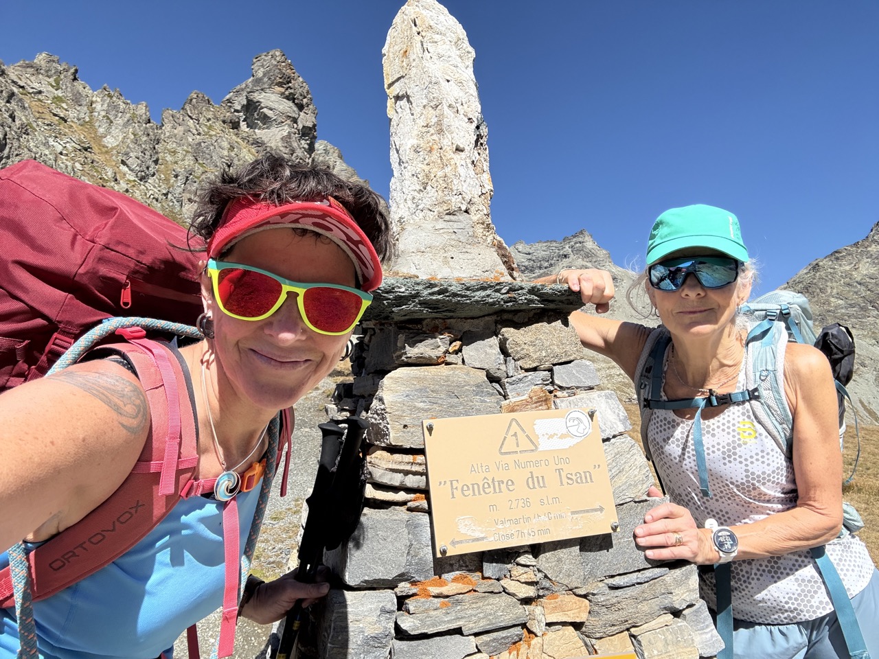
Higher still, the route reaches Fenêtre de Tsan (2,738m), another spectacular viewpoint, but it’s what comes next that really defines the day. The descent from the col is incredibly steep, testing tired legs and demanding careful footwork. Beyond this, a delicate section between Col de Terray-Terra (2,775m) and Rifugio Cuney requires confidence on exposed ground, with sections of fixed cable to assist progress.
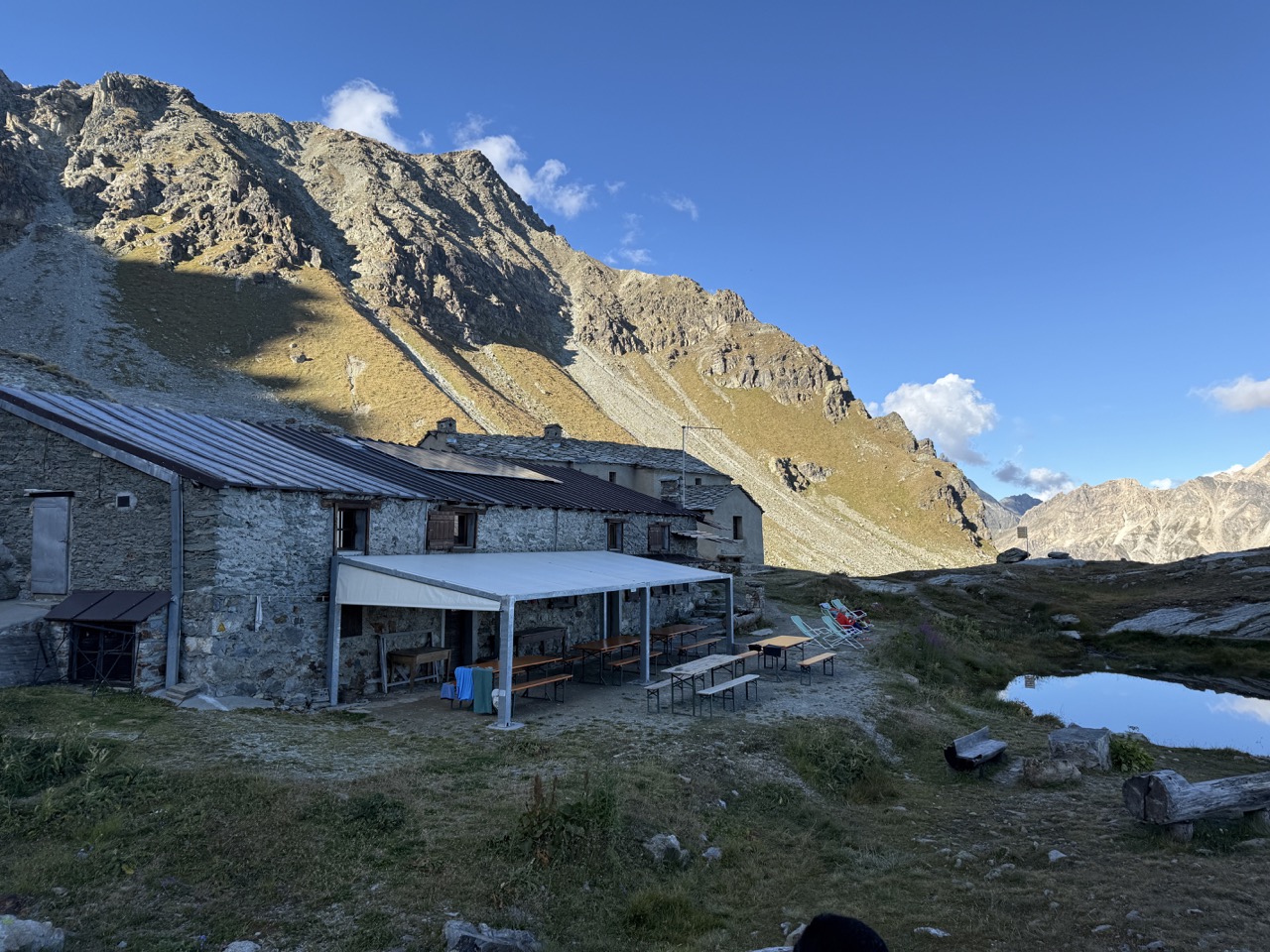
Eventually, the small and welcoming Rifugio Cuney comes into view, a sight that brings instant relief. The warm welcome and excellent food make it a perfect place to recover after a long, physical day, and a reminder of just how rewarding these quieter refuges can be.
Distance: 14.2 km | Ascent: +1,200 m | Descent: –650 m | Hiking time: approx. 8 hours
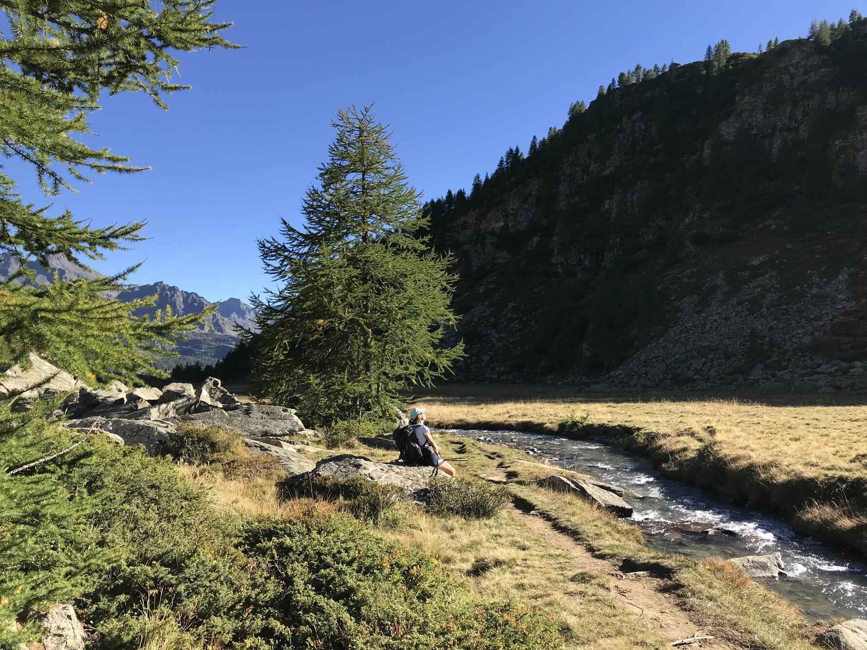
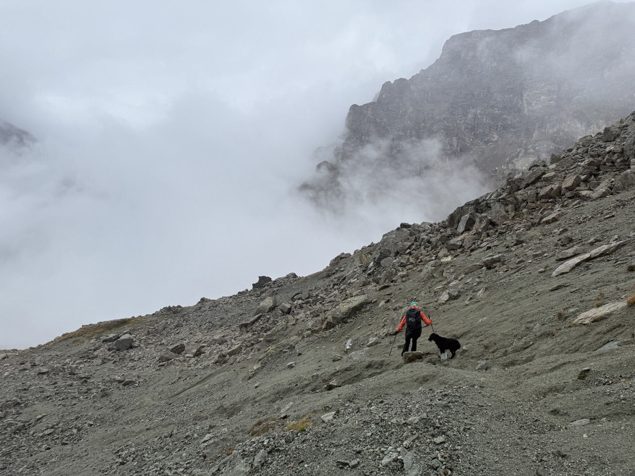
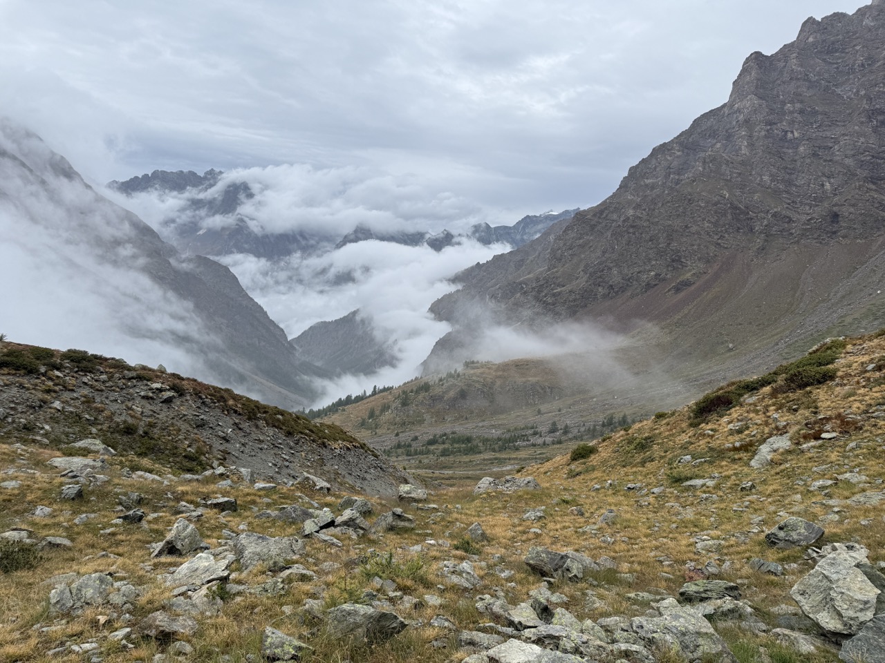
Day 6: Rifugio Cuney to Closé
The final day of this section was a long one underfoot, despite the short distance on the map. Low cloud lingered throughout the day, hiding the big views this stage is known for, but even without clear skies, the sense of journey and completion was unmistakable.
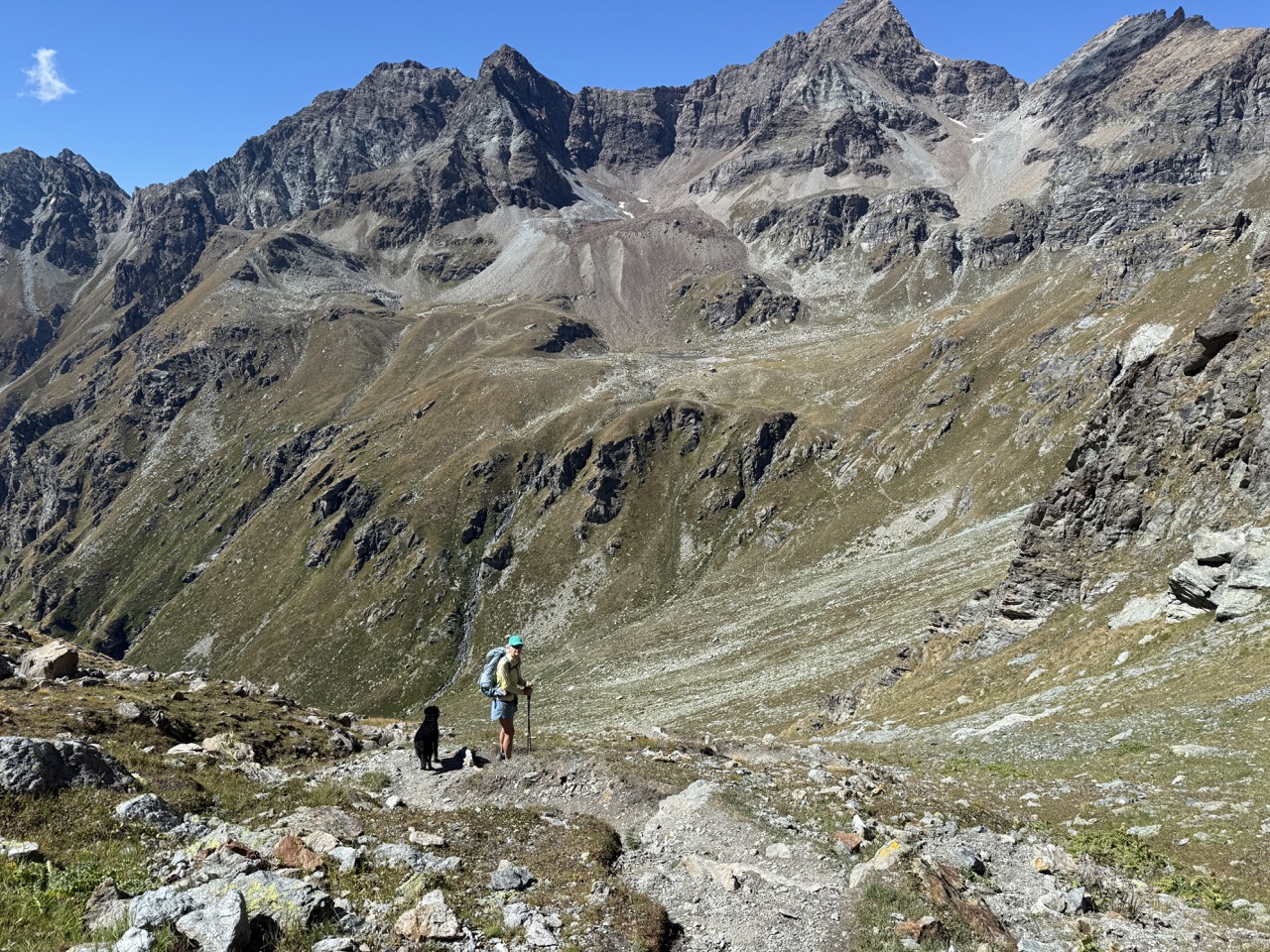
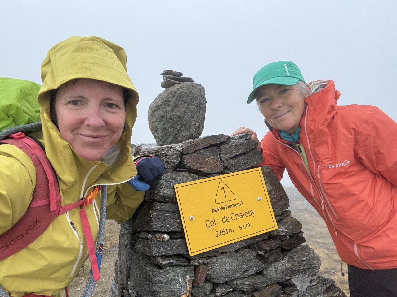
Leaving Rifugio Cuney, the trail climbs steadily to Col de Chalaky (2,683m) before continuing on to Col de Vessona (2,788m). In clear conditions, this stretch offers expansive views across the surrounding peaks, but today the landscape felt more intimate and atmospheric, with the mountains only occasionally revealing themselves through the cloud.
From the col, the route drops sharply into the Vallée de Vessona, a steep and sustained descent that demands focus, especially after several demanding days already in the legs. Gradually, the terrain eases and the valley opens out, guiding the way down to Closé.
Arriving here felt like closing a loop, this was where the 2024 recce had begun. With this final stage completed, the remaining pieces of the Alta Via 1 finally fell into place.
Distance: 15.5 km | Ascent: +450 m | Descent: –1,650 m | Hiking time: approx. 7 hours

Completing this final section in summer 2025 brought the entire Alta Via 1 into focus. From quiet Walser settlements and high, windswept cols to steep, technical descents and welcoming mountain refuges, the Giants’ Trail delivers a true high-mountain journey through the Aosta Valley. This is a route best suited to experienced hikers, comfortable with long days, sustained ascents and descents, and occasional exposed terrain.
In terms of difficulty, it sits very much alongside the Alta Via 2 – Traverse of the Gran Paradiso on the opposite side of the valley. With the full route now recced end to end, the AV1 feels like a natural and exciting addition to the Mont Blanc Treks self-guided portfolio, a challenging, rewarding journey for those looking to step a little deeper into the Italian Alps.
The full itinerary will be available on the website soon, in the meantime if you have any questions regarding the route please get in touch with me: sara@montblanctreks.com
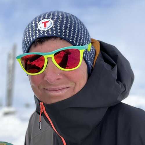
About the Author